Introduction:
With this lab I wanted to map the ideal land in Eau Claire County to build a community greenhouse on. The product will show the agricultural land, within 5 miles of a k-12 school, and within 100 yards of a major road. I would hope to show this map to a town committee that would be interested in pursuing a neighborhood garden. I would use this information to choose which towns to speak with. I can also use this as a starting point to further my selection for greenhouse locations, for example, if more criteria become important in deciding which land could sustain a greenhouse, I could continue improving this map.
Data Sources:
I got my data from our 2009-07-13_EauClaire geodatabase and from the City of Eau Claire Geodatabase. I manipulated zoning boundaries data, reality property information, school locations, major road maps, and county boundaries data to get to my conclusions. A concern I have about my data has to do with the school locations that I used. I set a single Buffer around any school in Eau Claire County. Maybe separating these schools into elementary, middle, and high school and then setting a buffer around those locations individually would have been a better choice for this data. This would allow me to choose a location where there are a variety of school levels within a close range. Instead of maybe running into an issue where I choose a land plot that only has one school near it versus a land plot that is close to many schools, therefor allowing more schools easy access to the greenhouse as a learning space.
Methods:
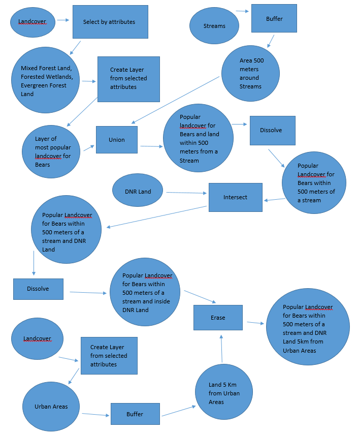
Using the Join, Buffer, Erase, and Intersect tools, I was able to answer the question, where is the best land plot in Eau Claire County to build a community greenhouse? I had available to me, Realtor Property, Parcels in Eau Claire County, School Locations from 2013-14, and the Major Roads throughout the county. I was able to come up with all the suitable areas for the greenhouse in Eau Claire County.

Results:
My result was a map of the agricultural land, within 5 miles of a k-12 school, and within 100 yards of a major road in Eau Claire County.
Evaluation:
I enjoyed the freedom of this project. I found it a lot easier to construct my map when I knew what the final product should be, from the beginning. This made choosing what tools and settings to use to get to the end product much easier because I knew what I needed to accomplish to get there. I would love if I could have spent more time on this project. If we had 2 weeks rather than just one then we could have developed our projects more. Otherwise, I thought this was a wonderful application of the work I have been doing all semester.


